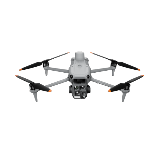
Portable Drone for Mapping and Stand Count Analysis Solution
The DJI Matrice 4E is a portable surveying and mapping drone suitable for single-pilot operations. Pair with 3rd party stand count algorithms, the solution enables precise and quick estimations of stand count status, empowering informed decision-making in agriculture.
Portable solution, easy to operate and to carry across multiple farms and fields.
Centimiter level data thanks to its mechanical shutter and RTK capability.
Data Collection: – Plan a 2D map mission for regular orthomosaic data acquistion or waypoint mission for site video recording and pano stiching.
Data Processing: – Import to collected images into DJI Terra to create 2D maps and 3D Models.
Data Analysis: – Seamlessly integrate the results into third-party software for advanced stand count analysis, enhancing efficiency and accuracy in agricultural assessments.
Portable Multispectral Data Collection Solution
The Mavic 3M offers effortless portability and swift deployments capable of collecting visual and multispectral data in a single flight. Paired with DJI Terra, process the vegetation indexes to gain insights into vegetation health and prescription maps for precise vegetation spraying.
Portable solution, easy to operate and to carry across multiple farms and fields.
Centimiter level data thanks to its mechanical shutter and RTK capability.
Vegetation health assessment with multispectral sensors.
Data Collection: – Plan a 2D mission and activate the multispectral sensor to acquire an aerial map enriched with multispectral bands data, providing a comprehensive view for precise analysis.
Data Processing: – Import to DJI Terra to process the captured images, and generate 2D models if needed.
Data Analysis: – Analyze the collected vegetation indexes for in-depth analysis of crop health. Generate prescription maps for accurate crop spraying.
Precise Visual Vegetation Analysis Solution
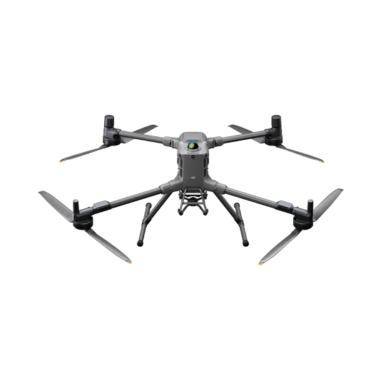
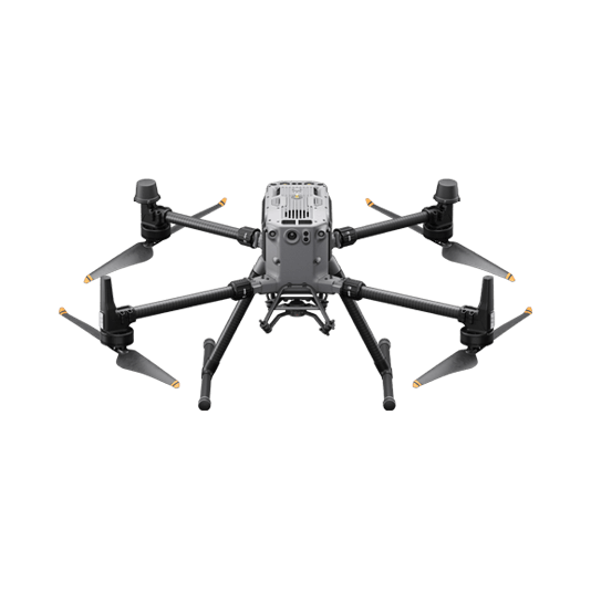
Our drone solution excels in agricultural monitoring by capturing high-resolution images for Intelligent Model- Driven disease detection, efficiently covering large farmlands. The Matrice 400 versatility extends to working with third-party payloads, facilitating the collection of multispectral and hyperspectral data for precise analysis.
Field-work efficiency, covers 3 km² per flight delivering a 5cm GSD.
Reliable multi-purposed drone platform designed to endure harsh environments and conditions.
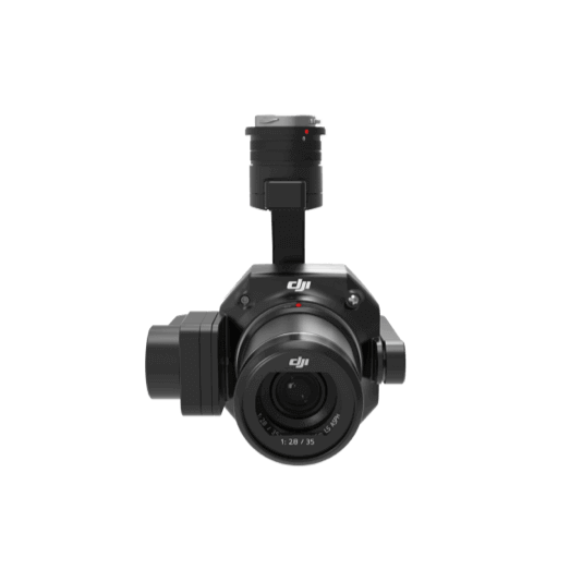
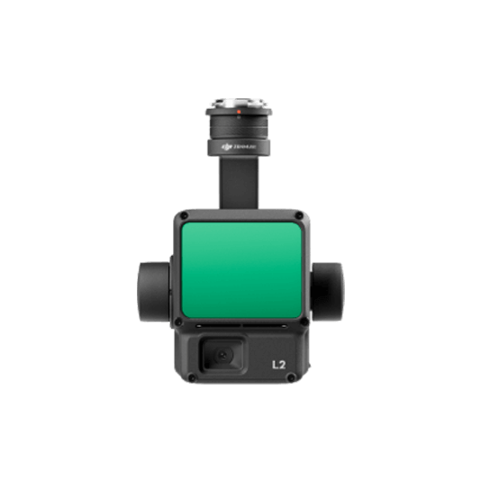
Zenmuse P1 has a 45MP, full-frame sensor to ensure high quality data collection.
Suitable for Intelligent Model- Driven disease detection through high resolution imagery.
Data Collection: – Plan a 2D mission with precise Ground Sample Distance (GSD) for capturing detailed images of leaf area and crop structures.
Data Processing: – Import to DJI Terra to process the captured images, and generate 2D models if needed.
Data Analysis: – Utilize the captured high-resolution images to train specialized models for efficient disease detection, enhancing precision in agricultural monitoring.
Crop Biomass and Lanscape Analysis Solution
Our drone solution excels in agricultural monitoring by capturing high-resolution images for Intelligent Model- Driven disease detection, efficiently covering large farmlands. The Matrice 400 versatility extends to working with third-party payloads, facilitating the collection of multispectral and hyperspectral data for precise analysis.
Field-work efficiency, covers 3 km² per flight delivering a 5cm GSD.
Reliable multi-purposed drone platform designed to endure harsh environments and conditions.
Zenmuse P1 has a 45MP, full-frame sensor to ensure high quality data collection.
Suitable for Intelligent Model- Driven disease detection through high resolution imagery.
Data Collection: – Plan a 2D mission to collect both Point Cloud and true color images, providing comprehensive data for accurate analysis of crop characteristics.
Data Processing: – Import to DJI Terra to process for DOM, DSM, Point Cloud, orthomosaic images and 3D models.
Data Analysis: – Import the acquired models into your preferred 3rd party software for further crop classification, volume estimation, and biomass classification.
Large Farm Coverage & Routine Sampling Solution
Our drone solution excels in agricultural monitoring by capturing high-resolution images for Intelligent Model- Driven disease detection, efficiently covering large farmlands. The Matrice 400 versatility extends to working with third-party payloads, facilitating the collection of multispectral and hyperspectral data for precise analysis.
Field-work efficiency, covers 3 km² per flight delivering a 5cm GSD.
Reliable multi-purposed drone platform designed to endure harsh environments and conditions.
Zenmuse P1 has a 45MP, full-frame sensor to ensure high quality data collection.
Suitable for Intelligent Model- Driven disease detection through high resolution imagery.