DJI Mavic 3 Multispectral

Overview

Effective aerial surveying needs to see the invisible. That’s why Mavic 3 Multispectral has two forms of sight. It combines an RGB camera with a multispectral camera to scan and analyze crop growth with total clarity. Agricultural production management requires precision and data, and Mavic 3M delivers both.

Compact and portable

Multispectral Camera

RGB camera

Safe and stable

Precise positioning

Efficient aerial surveying

Accurate images that capture every pixel

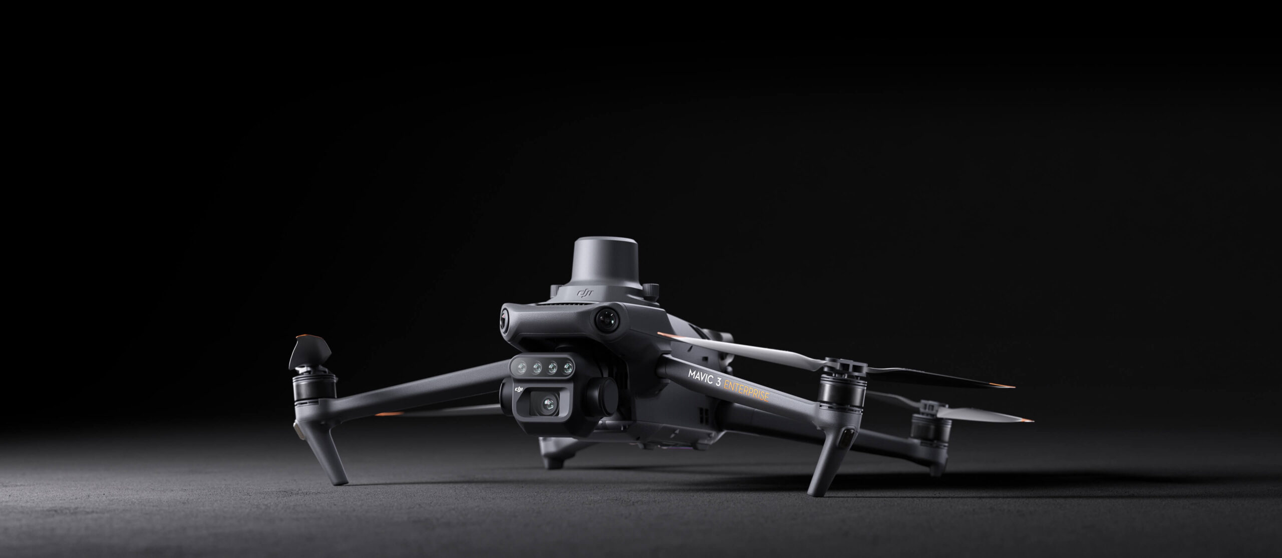
Mavic 3M with RTK module for centimeter-level positioning. Flight control, the camera, and the RTK module sync in microseconds to accurately capture the location of each camera’s imaging center. This enables Mavic 3M to do high-precision aerial surveying without using ground control points.

Stable signal, smooth image transmission

The O3 transmission integrates two transmitting signals and four receiving signals to support 15km ultra-long transmission distances.

With the optional DJI Cellular module [5], the 4G Enhanced Transmission and O3 Transmission Industry Edition work simultaneously to ensure signal stability and a safer flight, even in places where mountains or buildings obstruct the signal.

Omnidirectional obstacle sensing [1], terrain-follow aerial surveying

The aircraft features multiple wide-FOV vision sensors that accurately detect obstacles in all directions for omnidirectional obstacle avoidance. The terrain-follow aerial surveying can be easily performed in steep-slope landscapes.

Request for a Quote