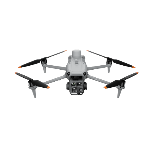
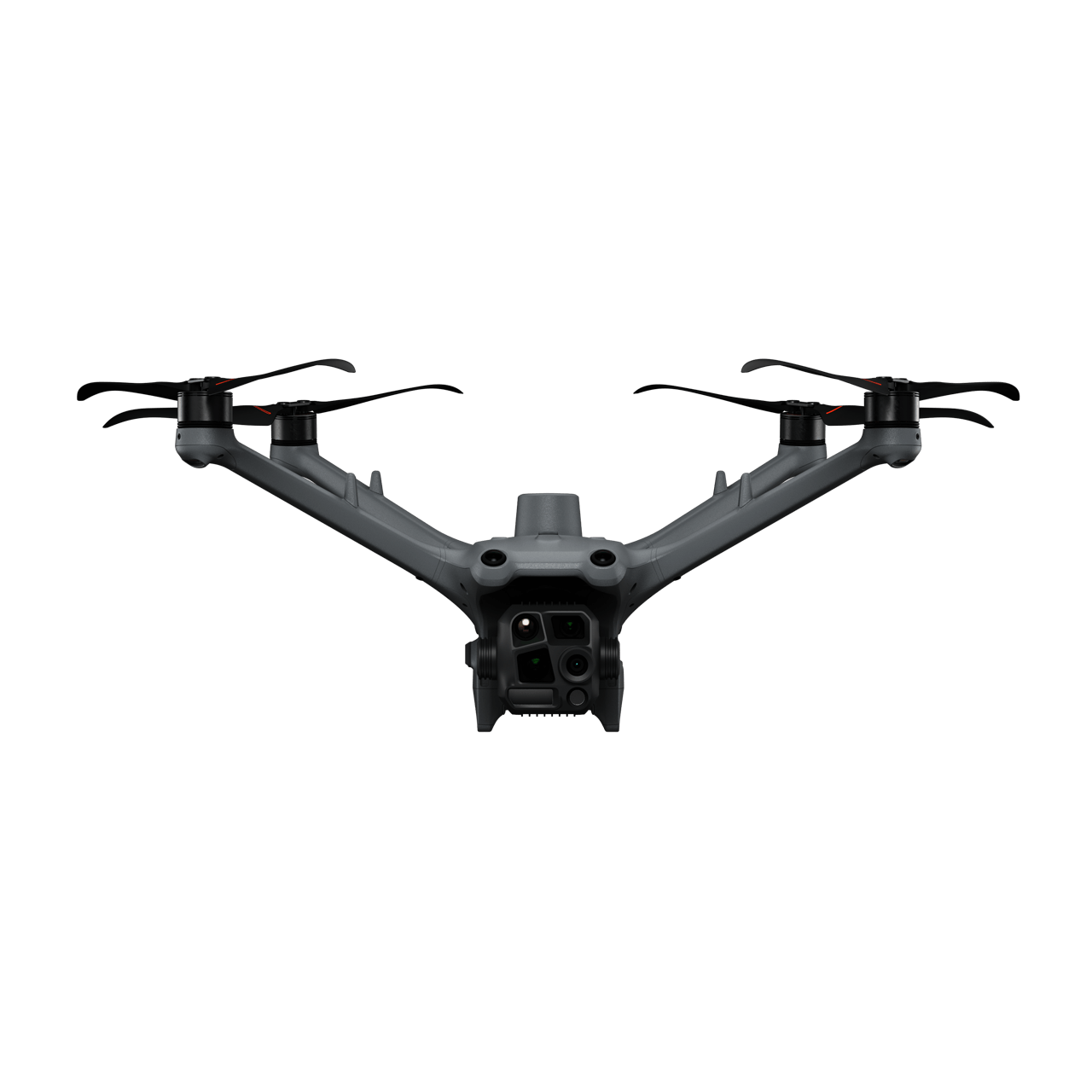
The DJI Matrice 4E is a portable surveying and mapping drone suitable for single-pilot operations. Paired with DJI Terra or your preferred 3rd Party Earthwork Software, it can generate accurate Point Clouds and 3D models to measure stockpile volumes.
Portable solution, easy to operate and to carry across multiple construction sites.
Centimeter-level data thanks to its mechanical shutter and RTK capability.
Obtain multiple data outputs such as 3D Models, DSM, DEM, and Point Clouds for efficient earthwork monitoring.
Data Collection: – Design a 2D map mission for consistent orthomosaic data acquisition.
Data Processing: – Utilize DJI Terra for processing, generating a high-accuracy dense Point Cloud from the collected data.
Data Analysis: – Measure stockpile volumes efficiently with DJI Terra. Alternatively, import the Point Cloud data directly into third-party software for comprehensive cut and fill analysis.
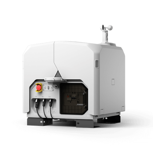
Automated Routine Stockpile Measurement Solution
The DJI Dock 3 allows you to automate recurrent stockpile measurement task effortlessly. Schedule remote data collection flights and upload collected data to DJI FlightHub 2 or your preferred Earthwork Software for timely project progress checks.
Schedule routine data collection flights for frequent centimetric level earthwork measurement and analysis.
Obtain accurate data outputs such as 3D Models, DSM, and Point Clouds for efficient earthwork monitoring.
Upload and analyze the collected data to DJI FlightHub 2 for cross-team collaboration.
Data Collection: – Design a routine 2D map mission for consistent orthomosaic data acquisition.
Data Processing: – Process the data in DJI FlightHub 2 to generate a high-accuracy dense Point Cloud.
Data Analysis: – Utilize DJI FlightHub 2 or third-party software to compare the Point Cloud data with the design file, automatically calculating cut and fill measurements.